LJEA Stream Assessments
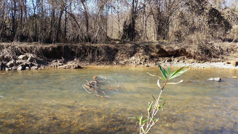
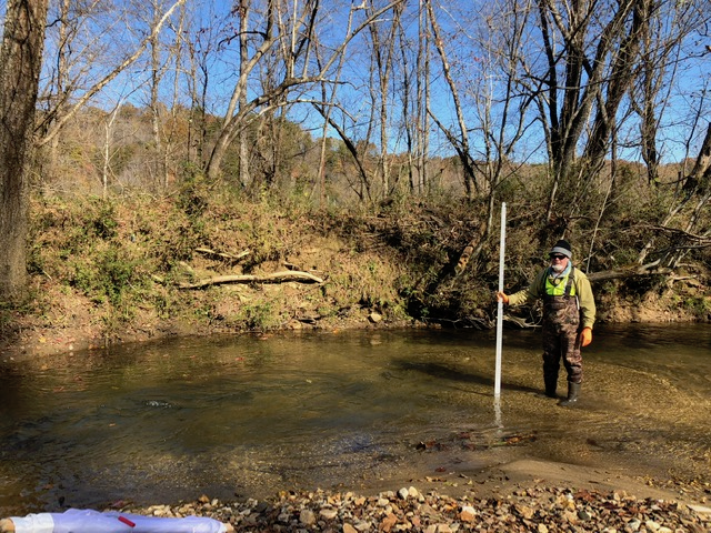
As previously discussed, erosion and sedimentation in our streams can harm aquatic species and their habitat. One method of examining the impacts of erosion and sediment is to perform stream habitat and erosion assessments. In January, February, and April of 2018, LJEA volunteers, assisted by students and faculty from University of North Carolina- Asheville and Appalachian State University, performed stream assessment surveys at 19 locations in the Lake James watershed. Some of those sites, and additional sites, were also assessed in November 2018. Each assessment documented important characteristics of the stream sites, including completing field worksheets used to document the aquatic habitat (North Carolina Division of Water Resources Habitat Assessment Field Data Sheet for Mountain/Piedmont Streams) and performing a Bank Erosion Hazard Index (BEHI) assessment. The habitat assessment combines many factors, including the condition of the stream banks and the types and amount of sediment observed at the site. The BEHI assessment is designed to give an indication of the likelihood of significant erosion along a small reach of the stream. The collected data can be seen in this spreadsheet and are discussed below.
Habitat Assessments
The method (NC DWR form) that LJEA used to assess habitats assigns a score between 0 and 100 (poor to excellent, respectively). An initial look at the habitat data presented in the spreadsheet’s column F shows that LJEA has rated 19 habitat observations as “good” (shown in green), 12 as “medium” (yellow) and 3 as “poor” (red). The aggregate habitat score is based on evaluation of many factors. A better understanding of how erosion and sedimentation impacts the habitat can be obtained by observing the Bottom Substrate, Pool Variety, and Bank Stability scores presented in columns M, N and P.
- Bottom Substrate scores vary from 0 to 15. If the substrate is primarily fine sediments or the bottom gravel and cobble is heavily embedded in sediment the score is very low. A mix of gravel, cobble and boulders that are not heavily embedded in sediment scores high.
- The Pool Variety score is often impacted by sedimentation. A stream that carries a lot of sediment will often fill in many of its pools during periods of low to normal flows. That degrades the habitat. Pool Variety scores vary between 0 and 10.
- Each site is also assigned a Bank Stability – Erosion score between 0 and 7, with 7 denoting little or no erosion present. Note that a location may exhibit little erosion but still have excessive sedimentation coming from erosion upstream.
Bank Erosion Assessments
Column G of the spreadsheet shows erosion potential scores assigned using the Bank Erosion Hazard Index (BEHI) method. LJEA evaluated 7 sites as very low or low erosion potential (green), 16 as moderate (yellow), and 2 as high (red). One of the moderate sites was borderline to high erosion potential. There were no sites rated as Very High or Extreme. Note that many of the observations were performed in November 2018 after an extremely wet summer that had several significant flooding events. It is possible that the stream conditions caused an upward bias in the observations. The existence and degree of any such bias may be determined by further observations in 2019.